See other good rides in the area

Distance: 16.02 mi
Total Ascent: 180 ft
Starting point: https://goo.gl/maps/CbUEnVprrngkuXVm8 (Behind Westlie Ford)
Another option: https://goo.gl/maps/Er3SkTqyoLydA8dP6 (Washougal River Greenway Trail Head on NE 3rd Loop in Washougal)
Route Details
This route starts near Washougal Waterfront Park. There’s good parking between Westlie Ford and the Port of Camas-Washougal. Head east to the new trail. This connects to S A St; continue east and you’ll connect to the Steamboat Landing parking lot. You can take the levee east for a mile or so (the rest is currently closed for construction), then head back and wind through the local roads. Cross Hwy. 14 using the roundabout or crosswalks at S 32nd St. then make a right on Addy St. Ride through the neighborhood until you reach Hwy 14, then turn around and head west into downtown Washougal. You can take C St all the way to 3rd St, then lake a left on 2nd and you’ll connect to Beaver Park where there’s a trailhead for the Washougal River Greenway Trail. Follow this till you reach NE 3rd Loop, then head back into town. When you get to Pendleton Way, you can go south past the Pendleton store through the underpass back to Steamboat Landing parking, then head back west to get back to the starting point.
Characteristics
Mostly flat, few hills. Lots of beautiful scenery (see pictures). Ample parking. Not too many stop signs. Bathrooms and services along the way. Great route overall!
Pictures
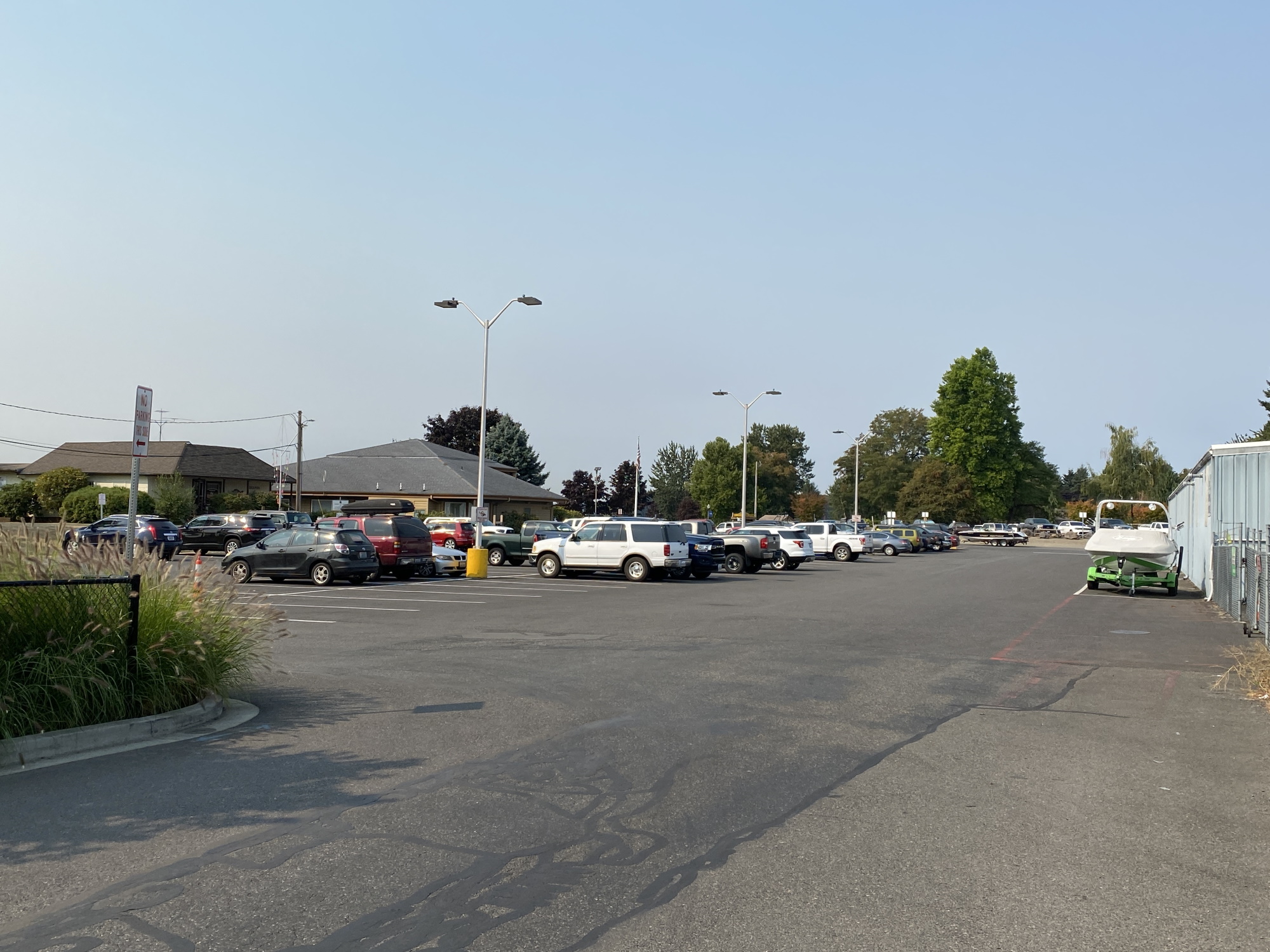
Parking 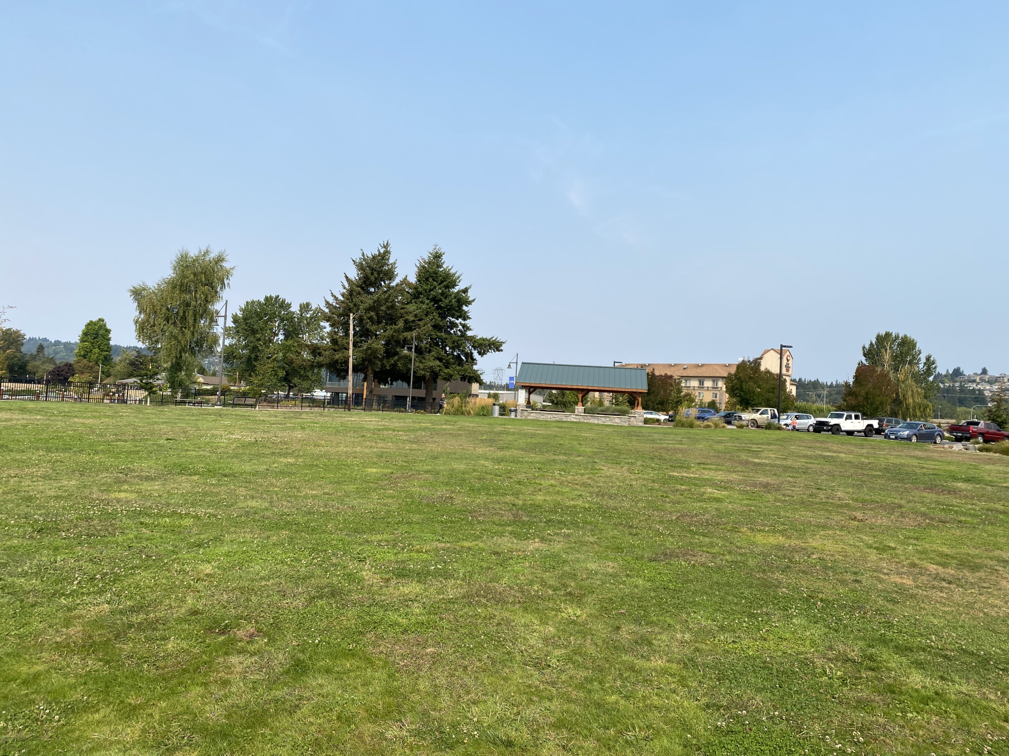
Washougal Waterfront Park 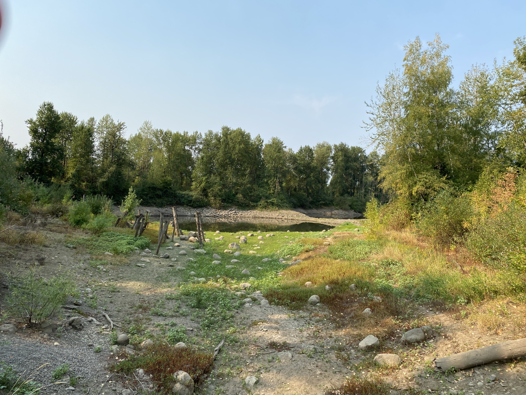
Washougal River Greenway Trail 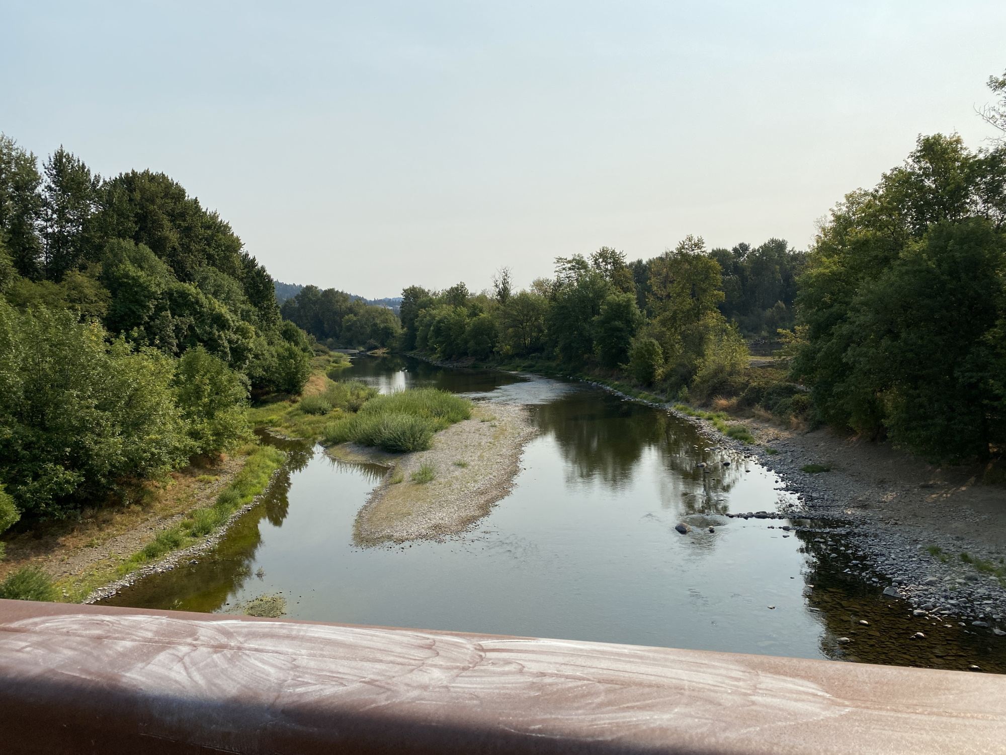
Washougal River Greenway Trail 
Parking – Washougal River Greenway Trailhead 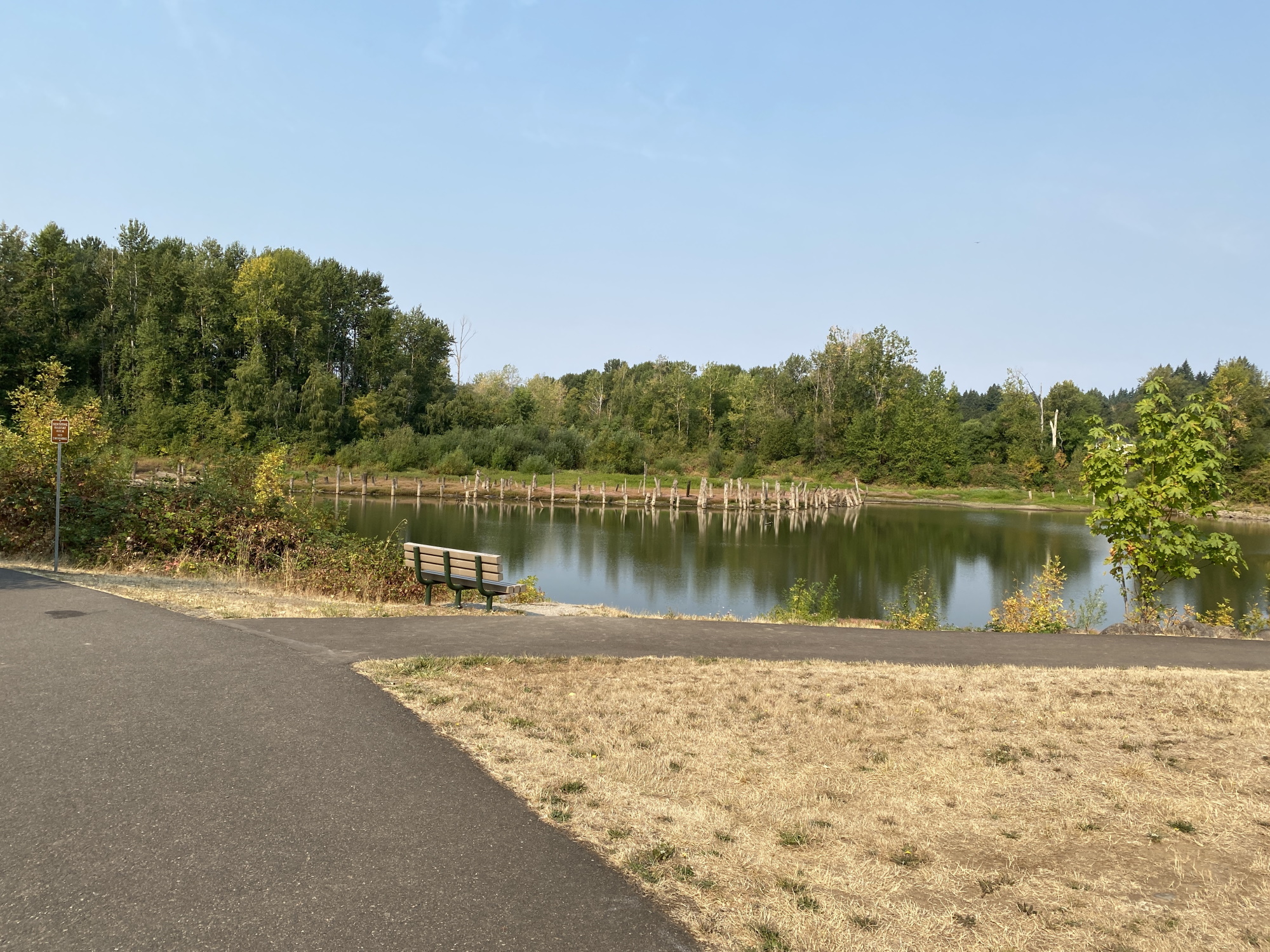
Washougal River Greenway Trail 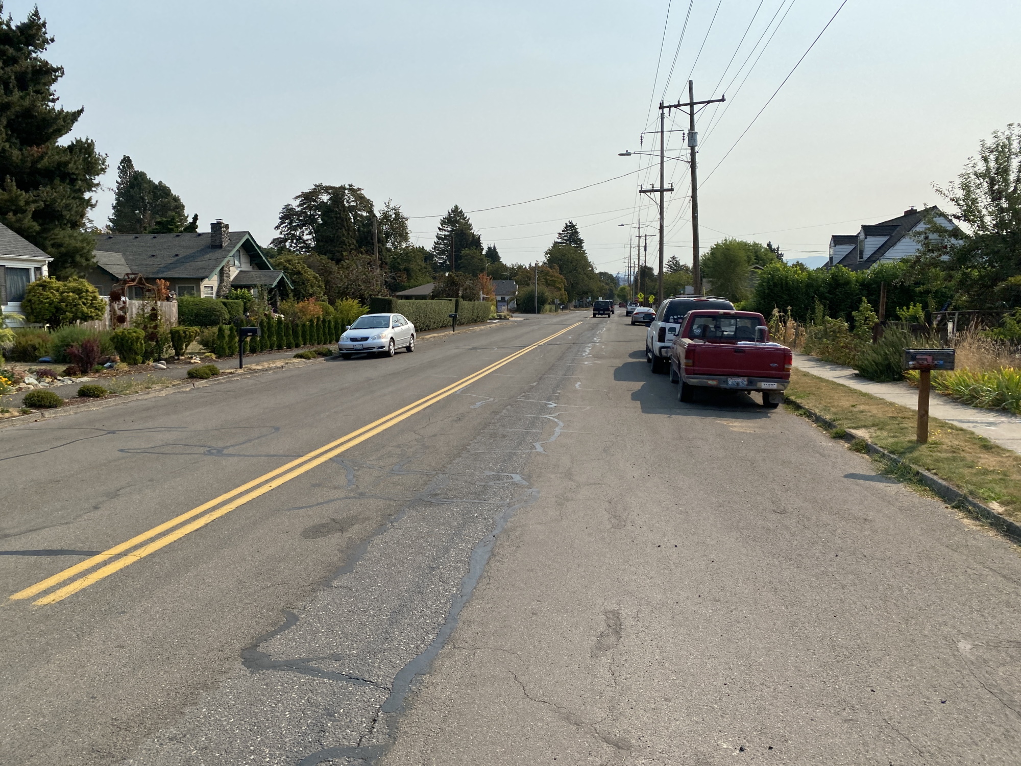
Washougal Surface Street 
Downtown Washougal 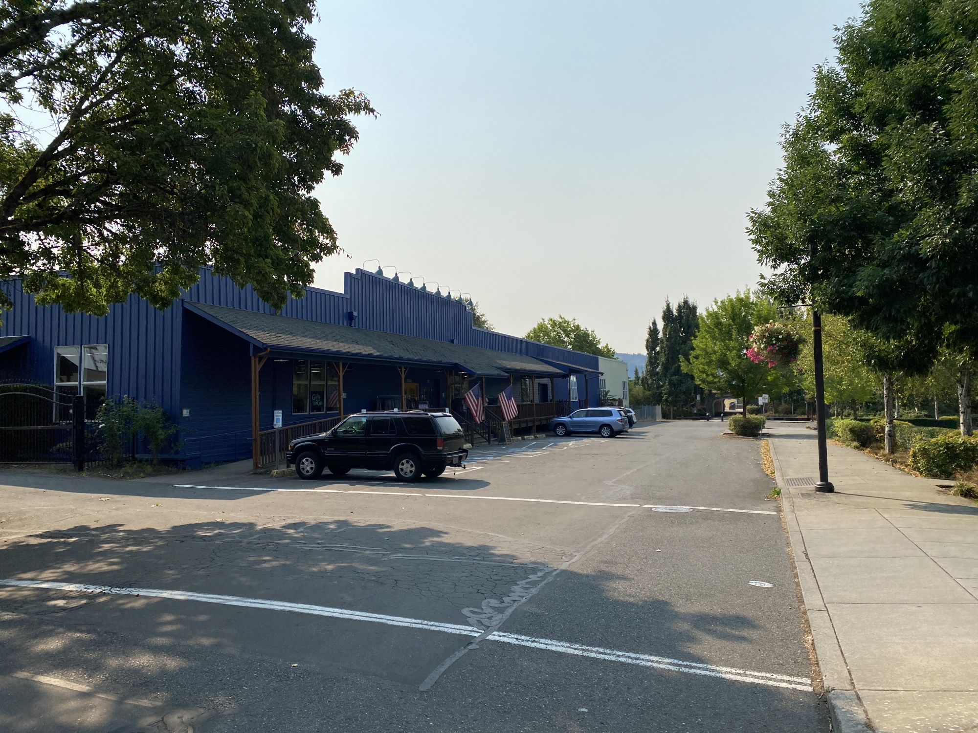
Pendleton Store 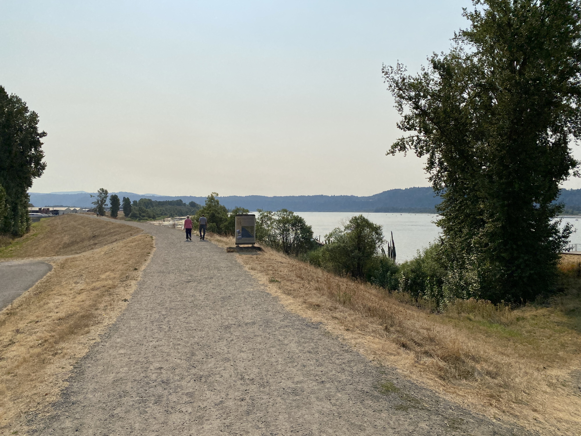
Steamboat Landing Levee 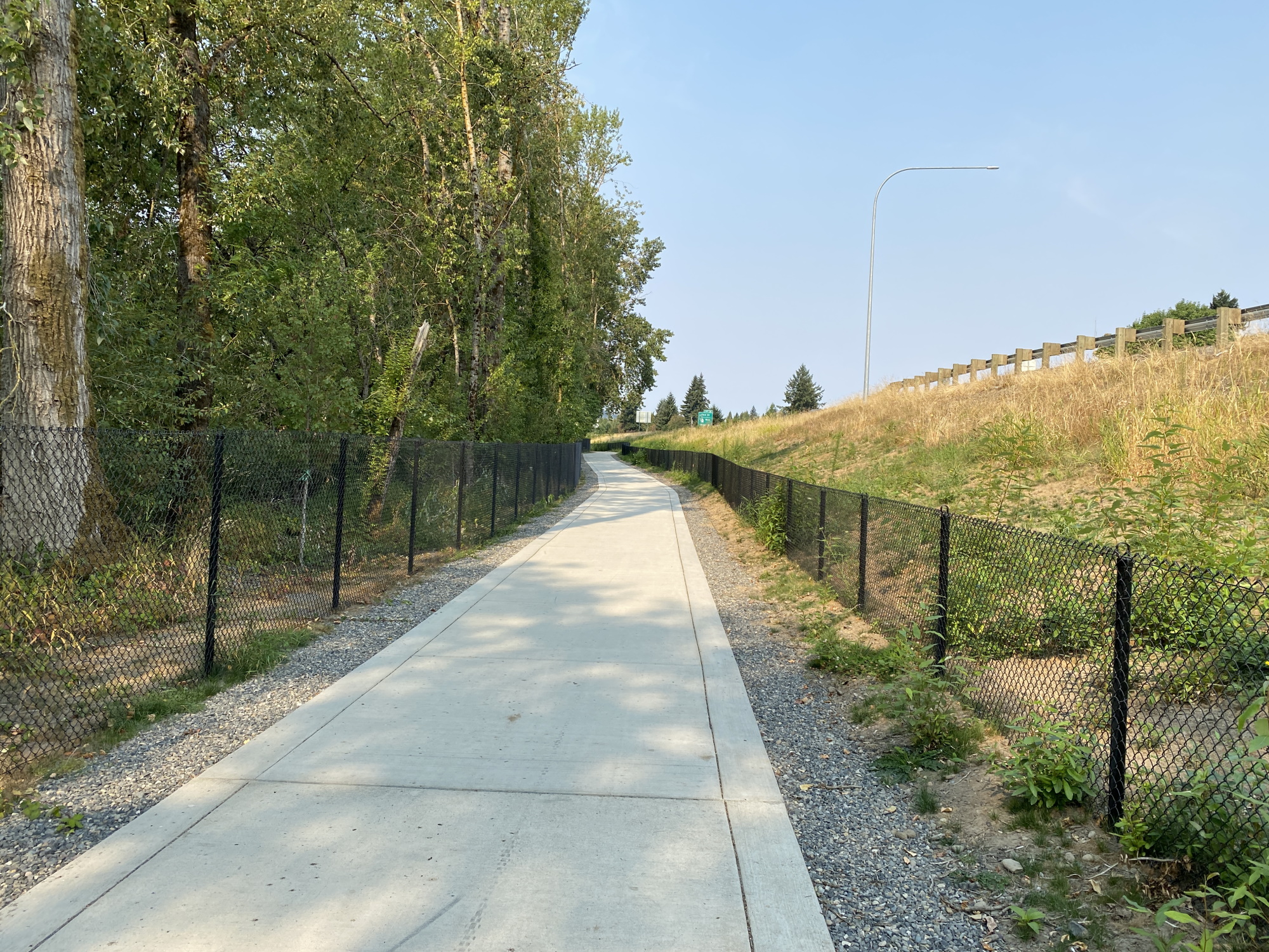
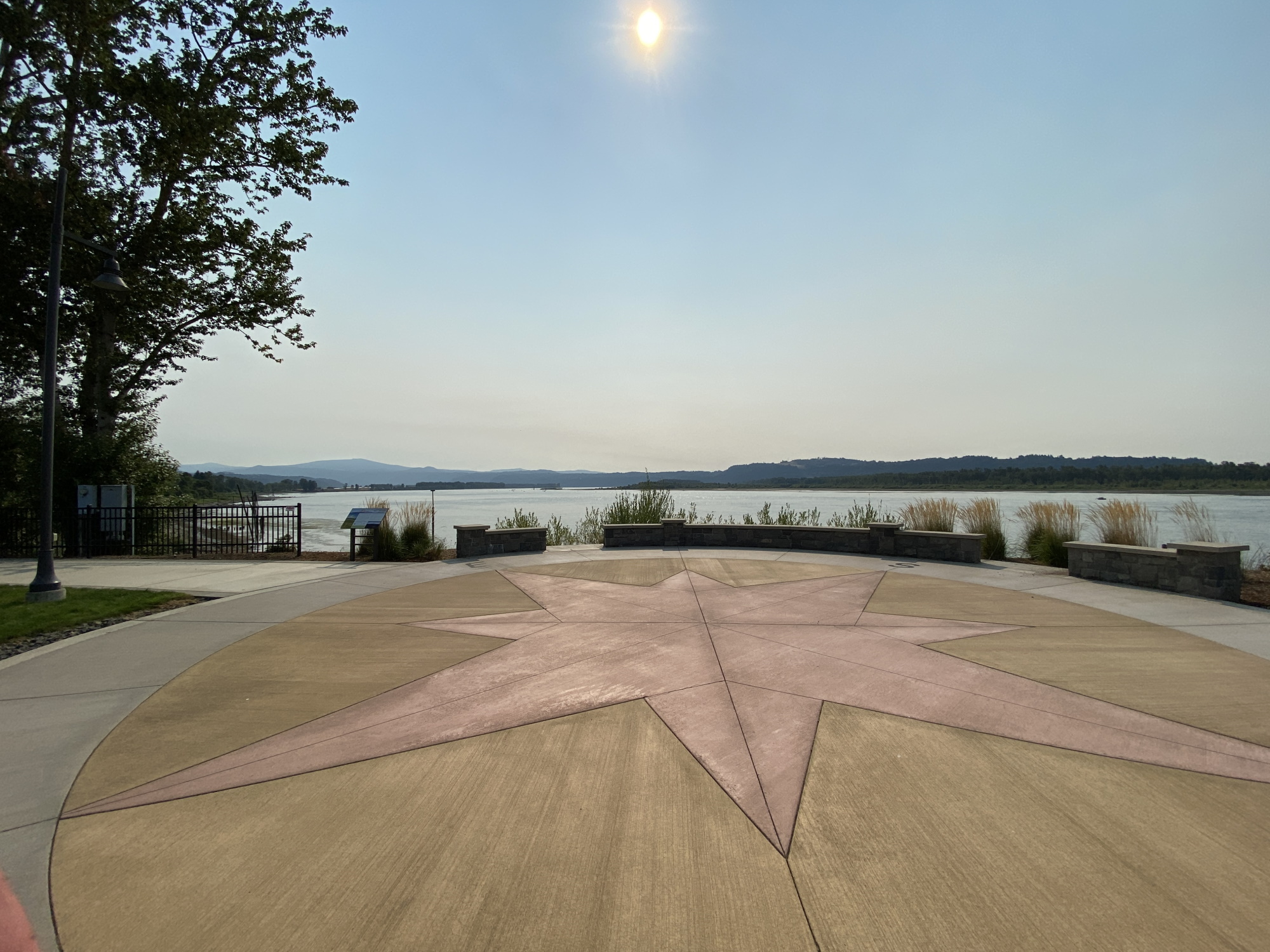
Washougal Riverfront Park