See other good rides in the area
Distance: 15.38 mi (7.6 mi each direction)
Total Ascent: 502 ft
Starting point, east end: https://goo.gl/maps/uaSisKNXFuXnqyaW8 (NE 92nd Ave & NE 19th Circle, Vancouver, WA)
Alternate starting point, west end: https://goo.gl/maps/kMqhStcmjTACTiGk8 (NW Fruit Valley Rd & NW Bernie Dr, Vancouver)
Route Details
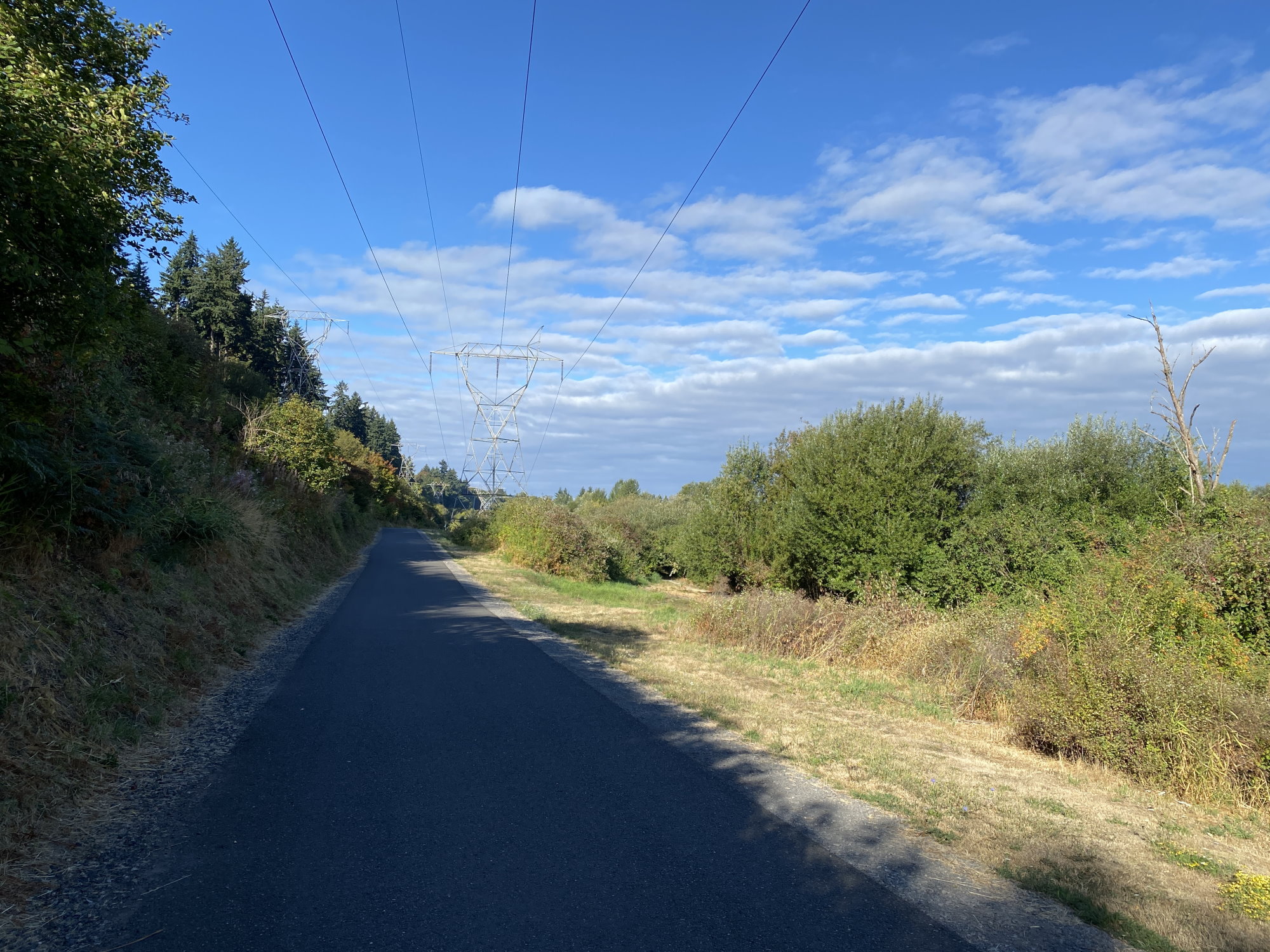
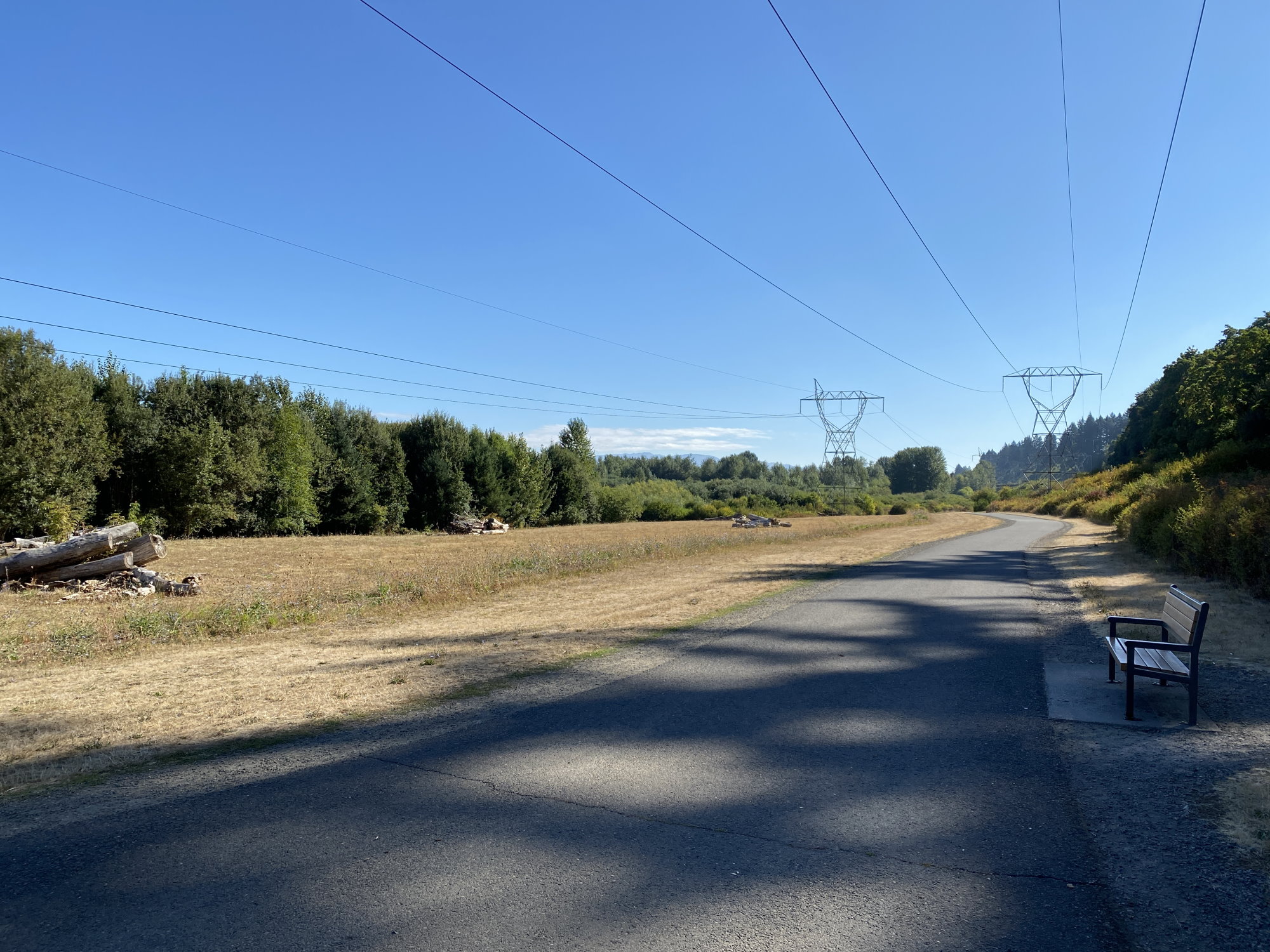
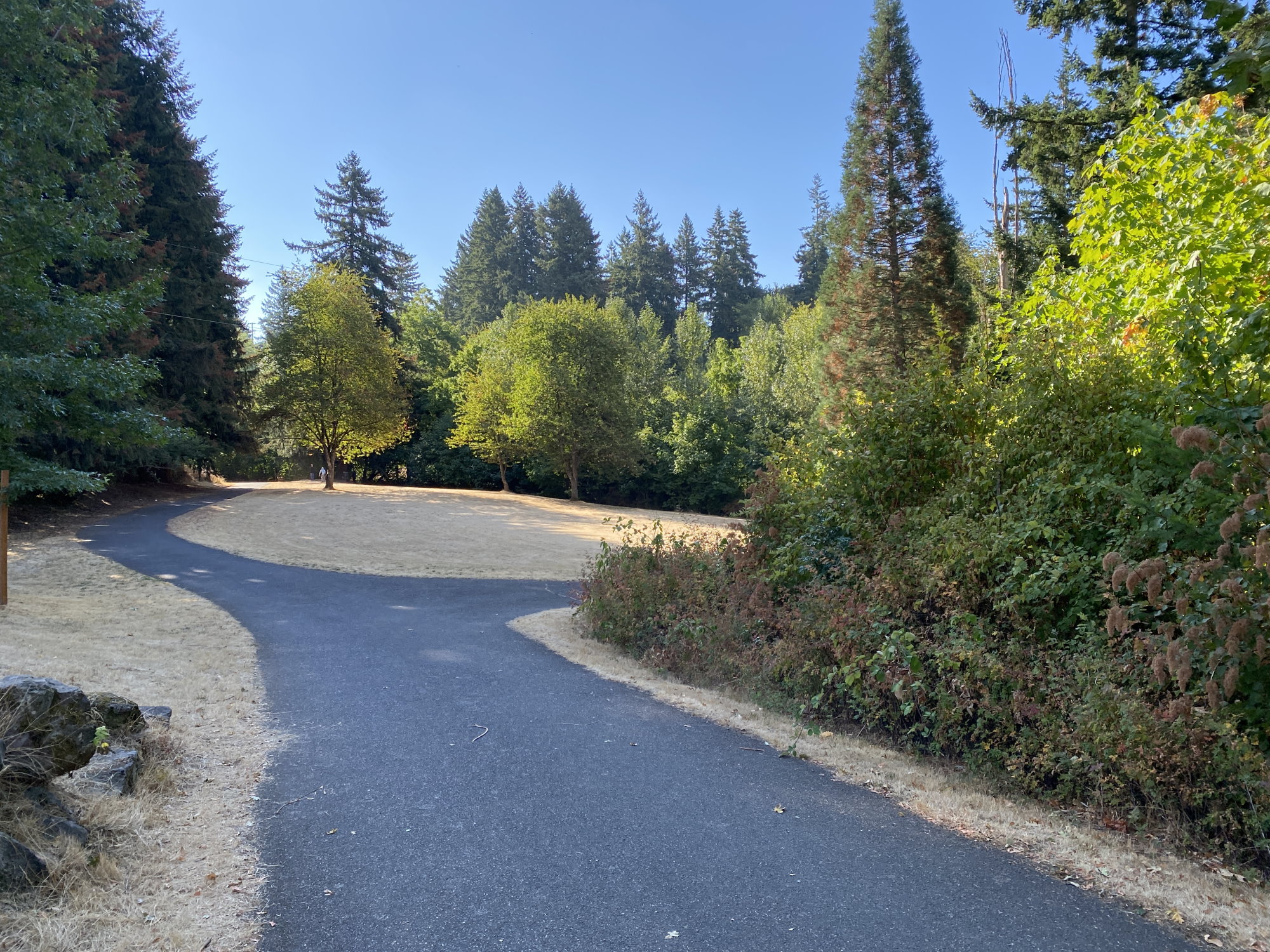
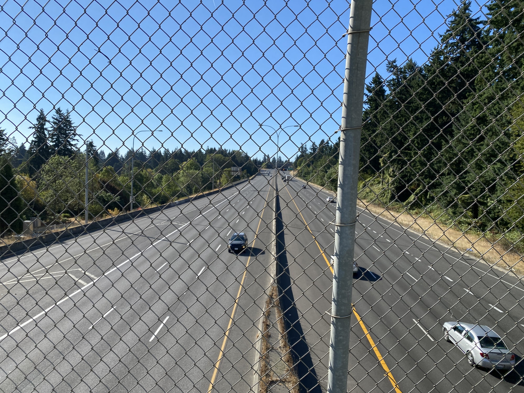
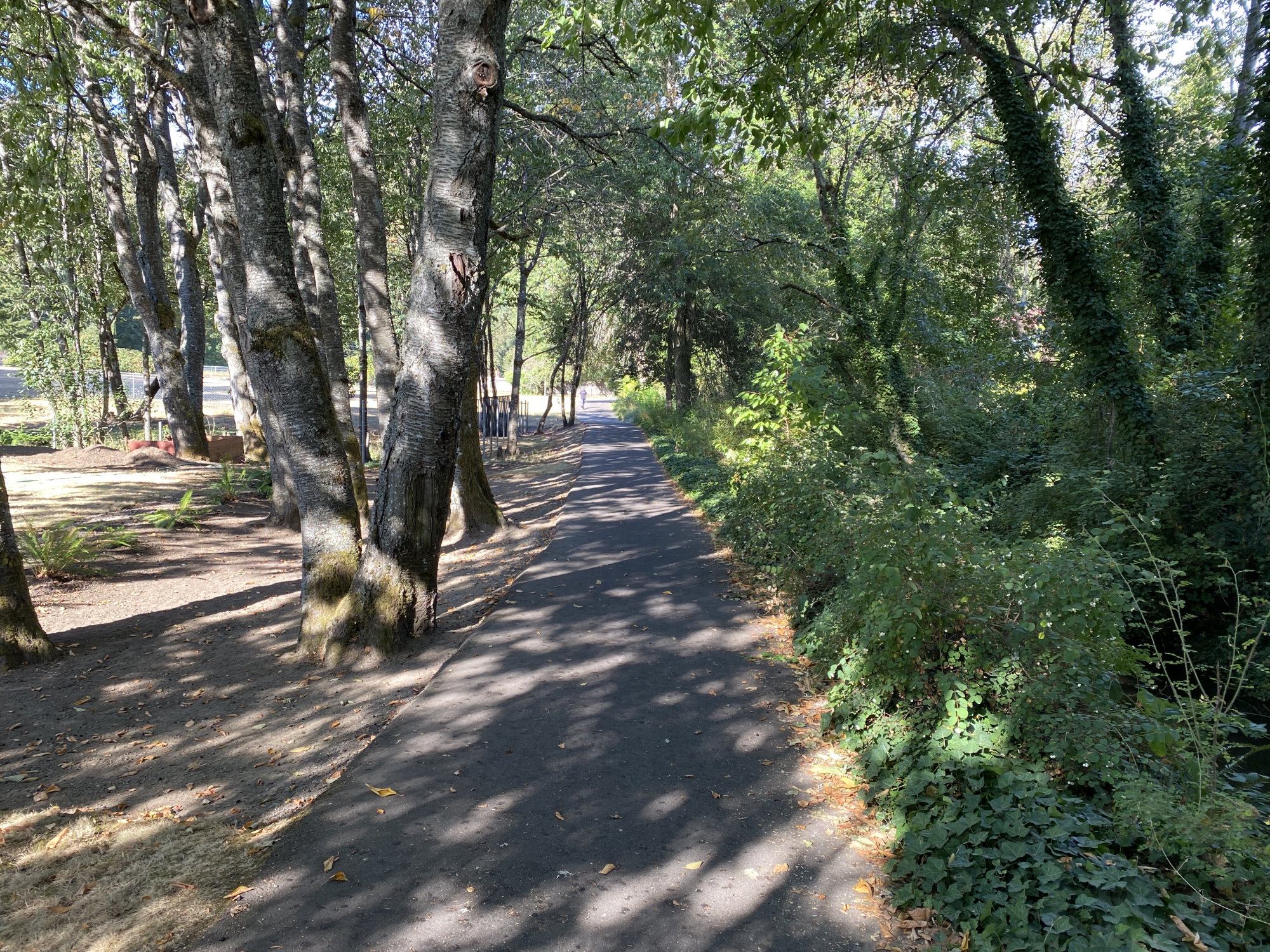
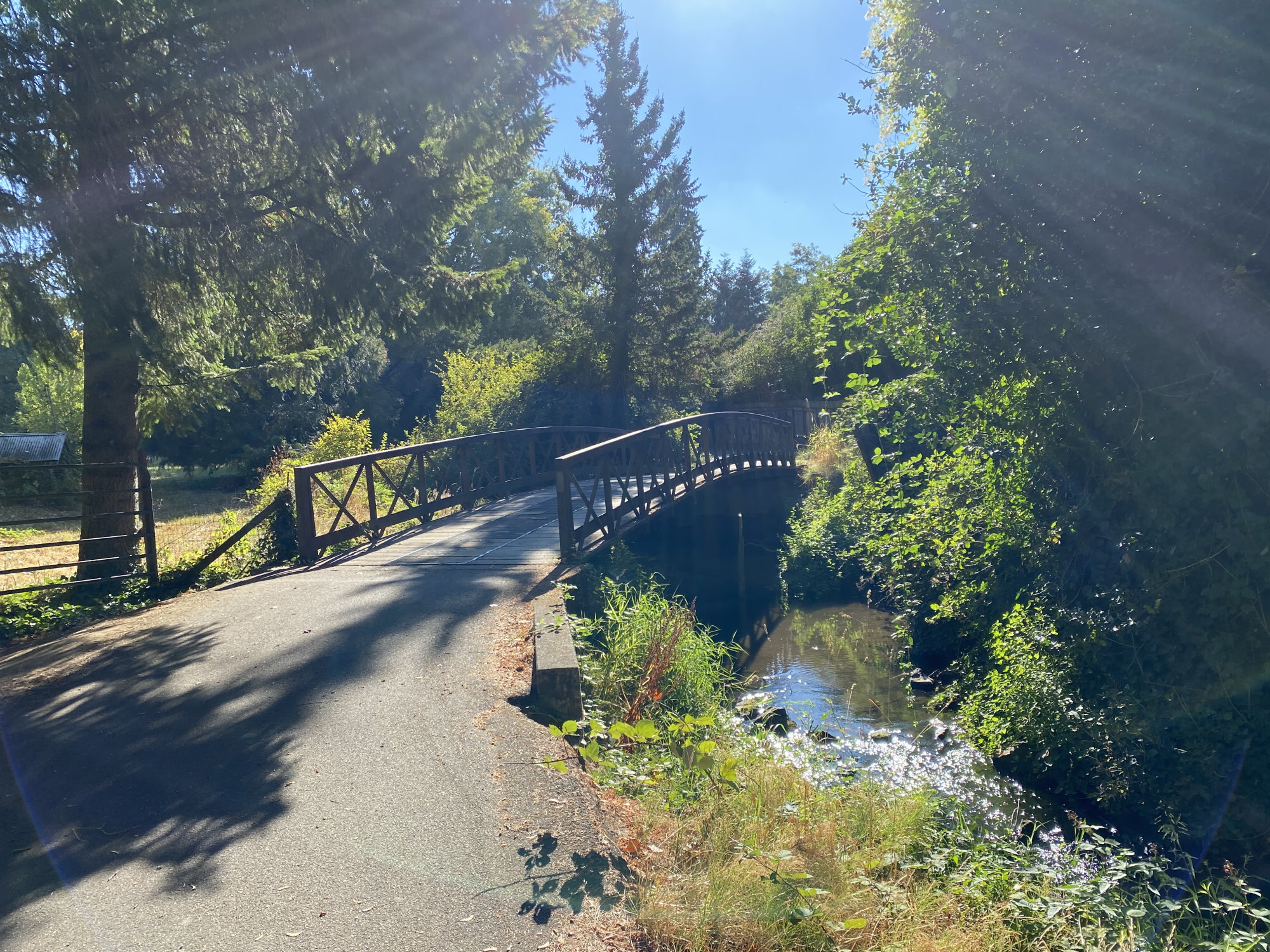
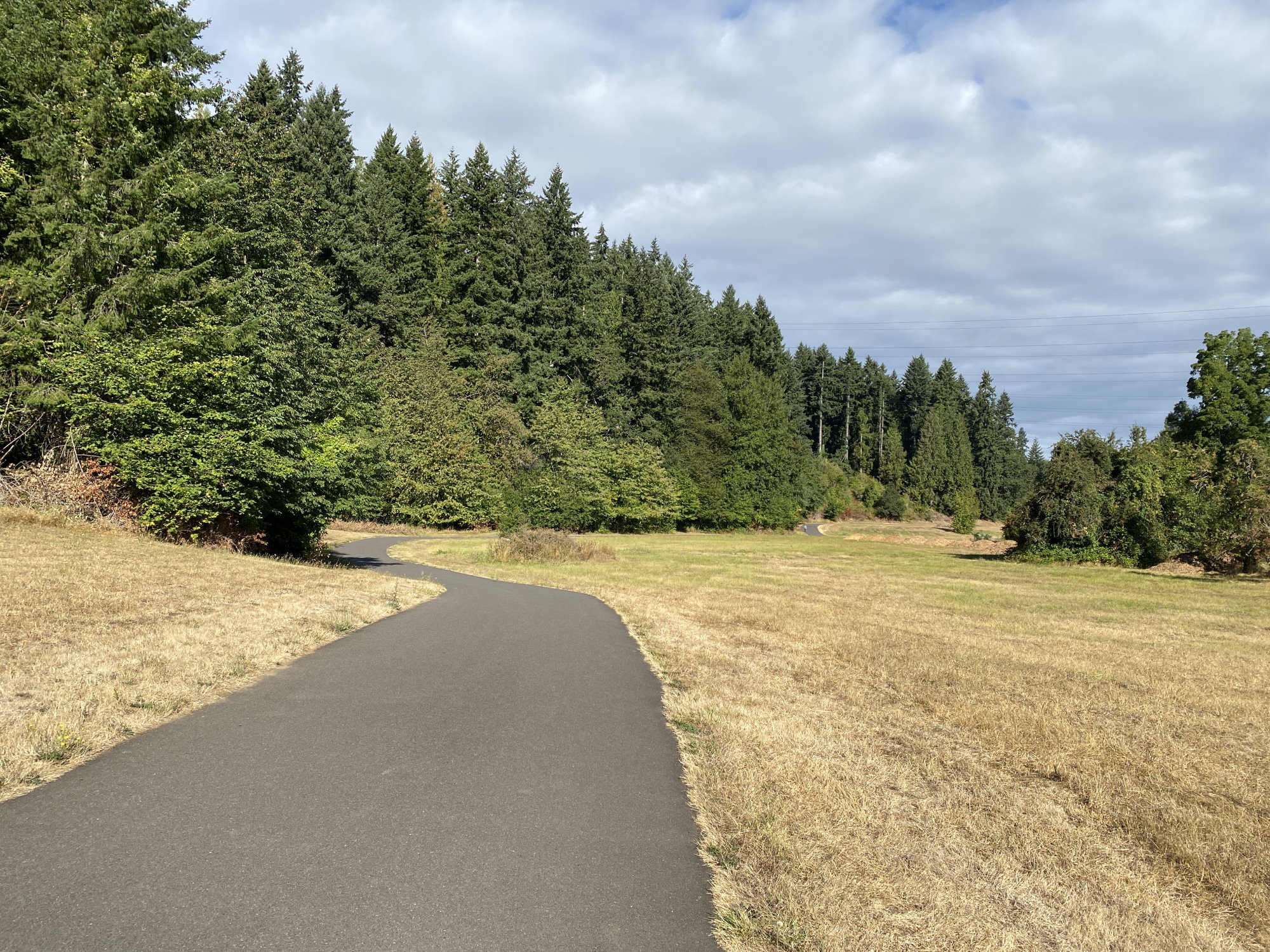
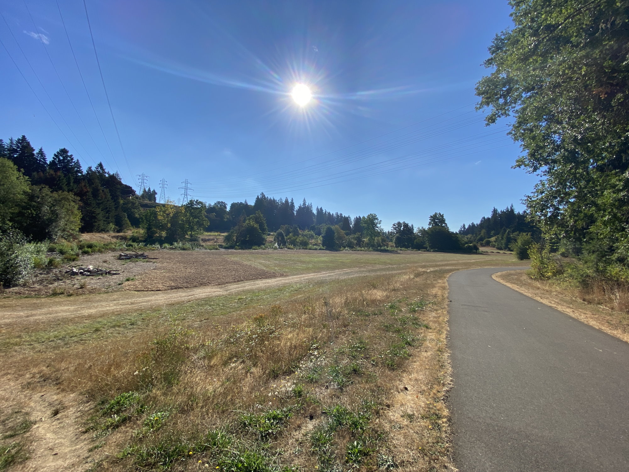
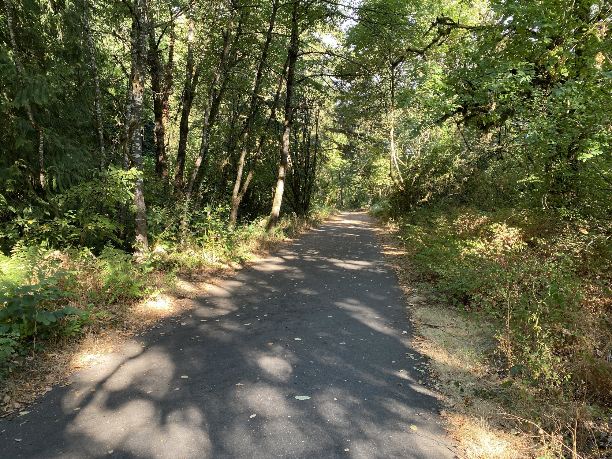
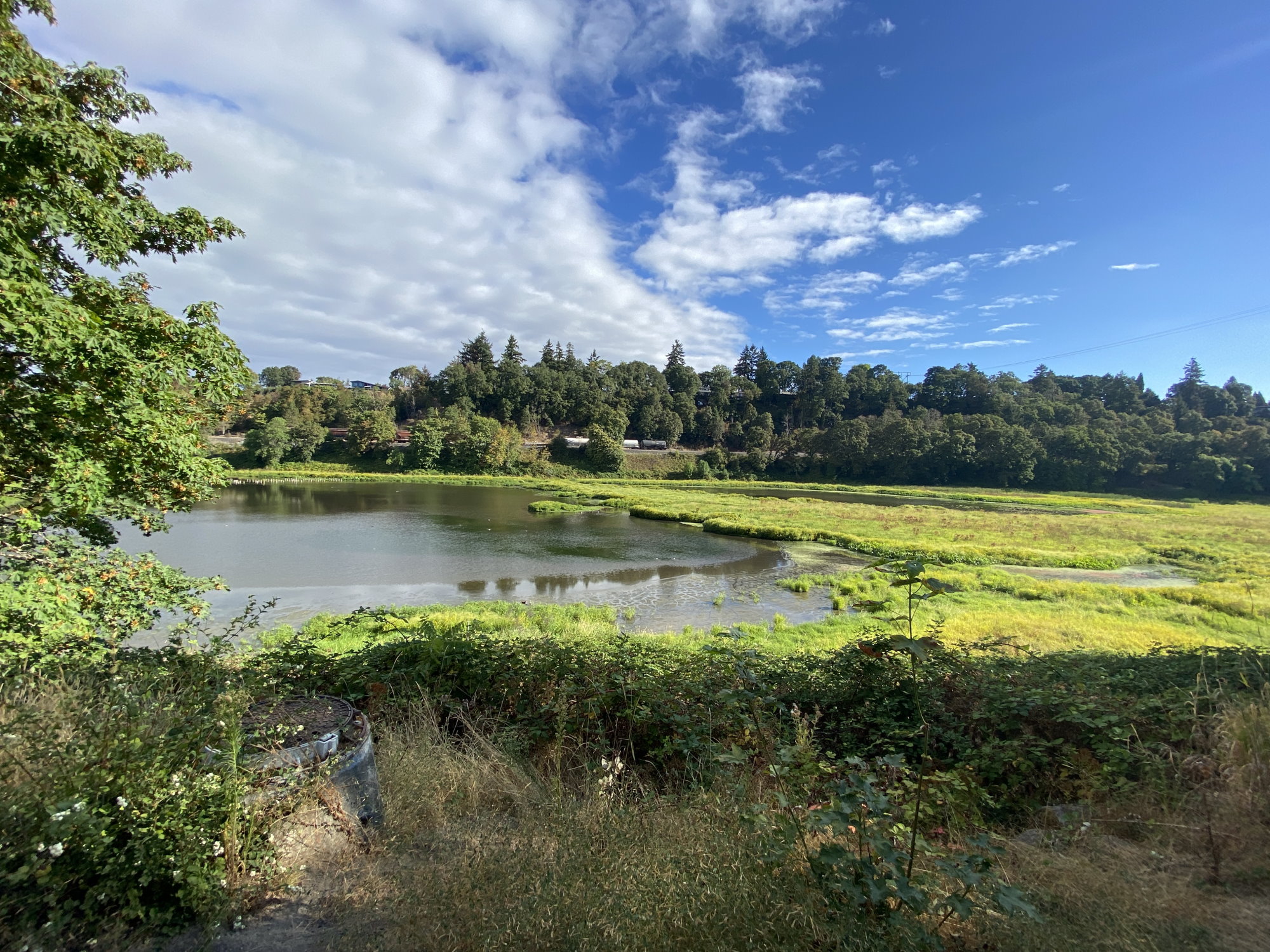
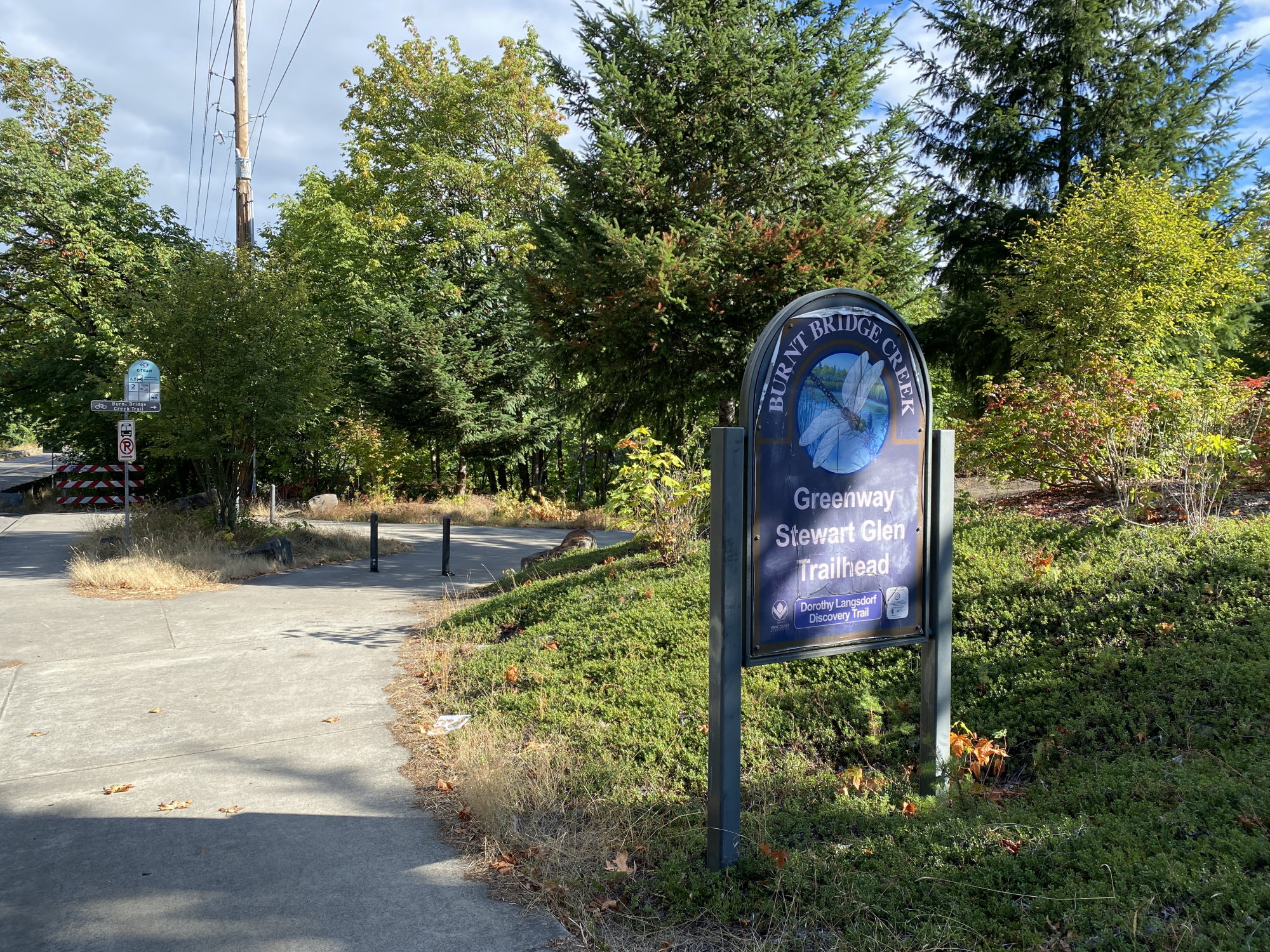
This is a great route, almost completely paved, that runs through Vancouver. You go through a number of parks and wooded areas, across an I-5 pedestrian bridge, ending up near Vancouver Lake. This is about 7.6 miles each direction. There are numerous bathrooms along the route. There are 3-4 decent inclines on this route, so it can be a little challenging for beginners in a few places, but the inclines are reasonably short. If you’re starting from the east end, you’ll travel the first half mostly under the power lines.
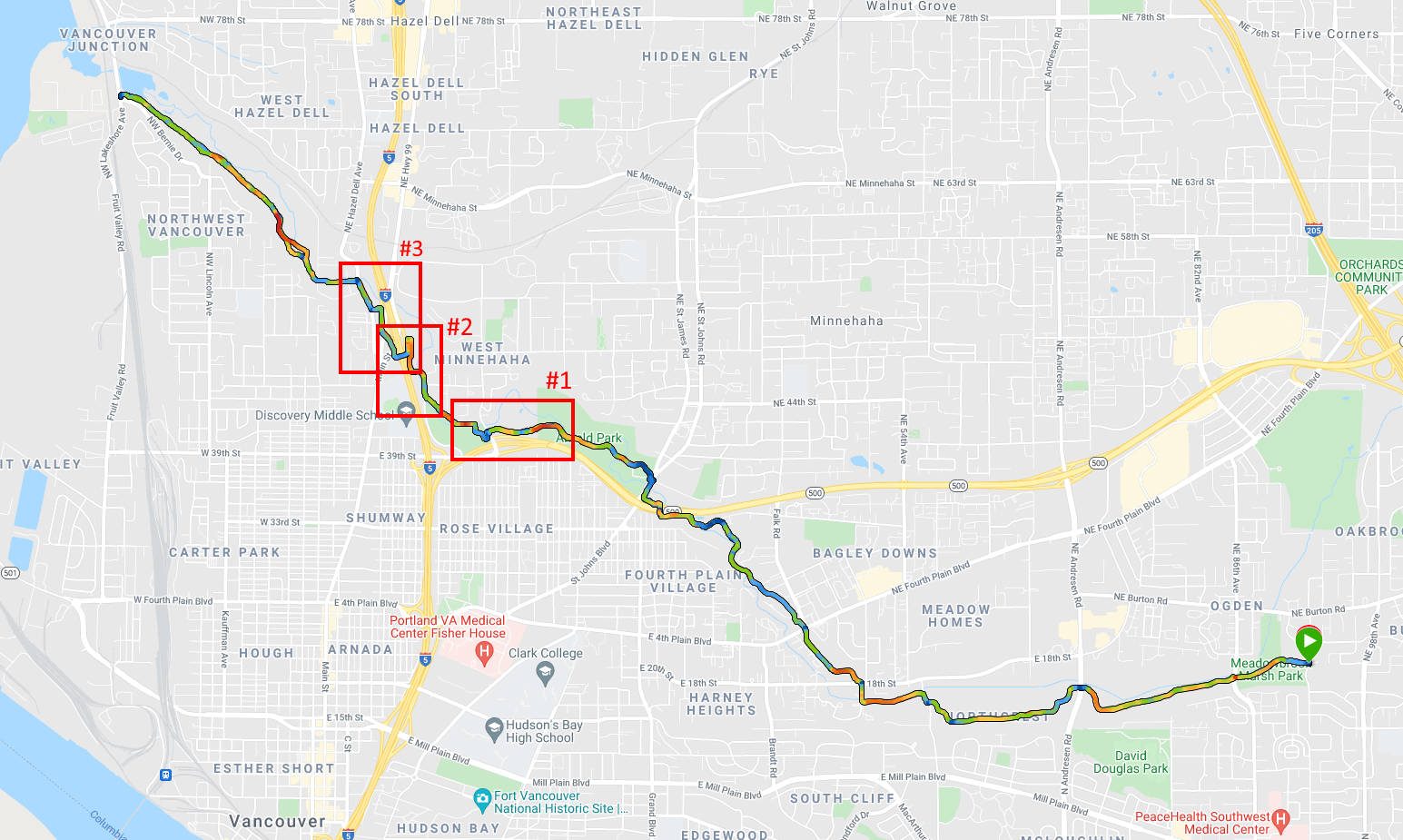
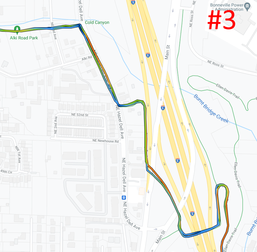
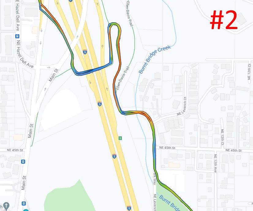
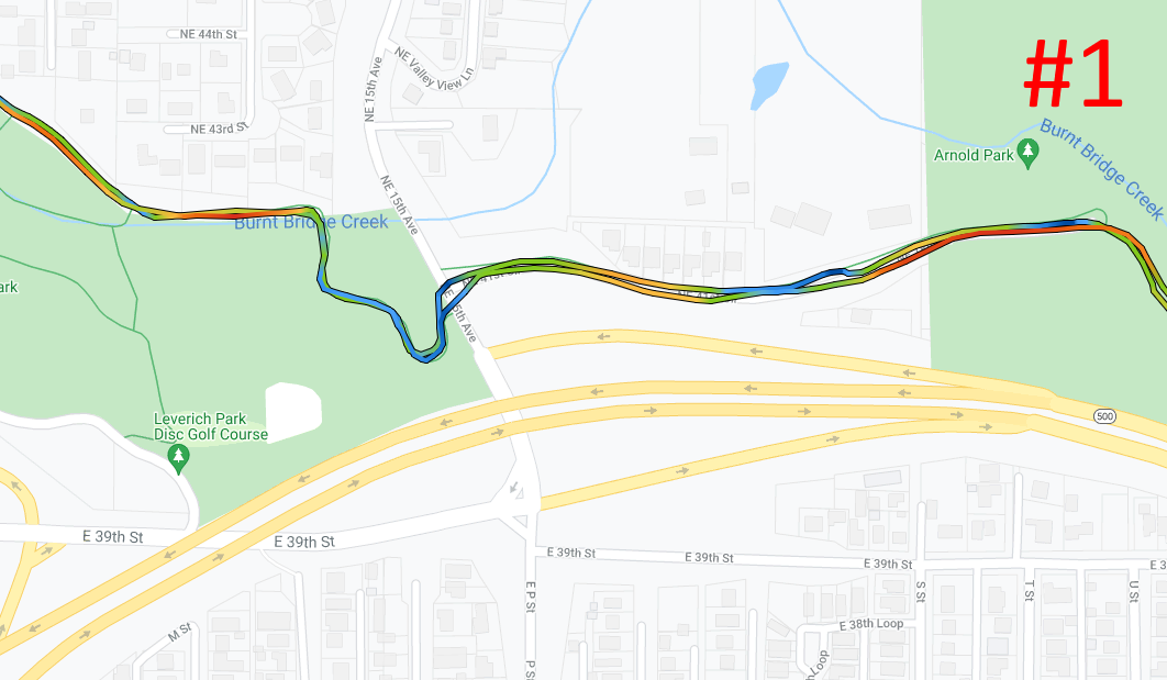
There are a few places where the trail splits a bit and it can be a little confusing the first time you ride the trail – see insets #1, #2, #3 above:
- #1: traveling westbound: come out of the residential area and go across NE 15th Ave. There is a section here where the trail is connected by NE 41st Circle, which is a partial residential street.
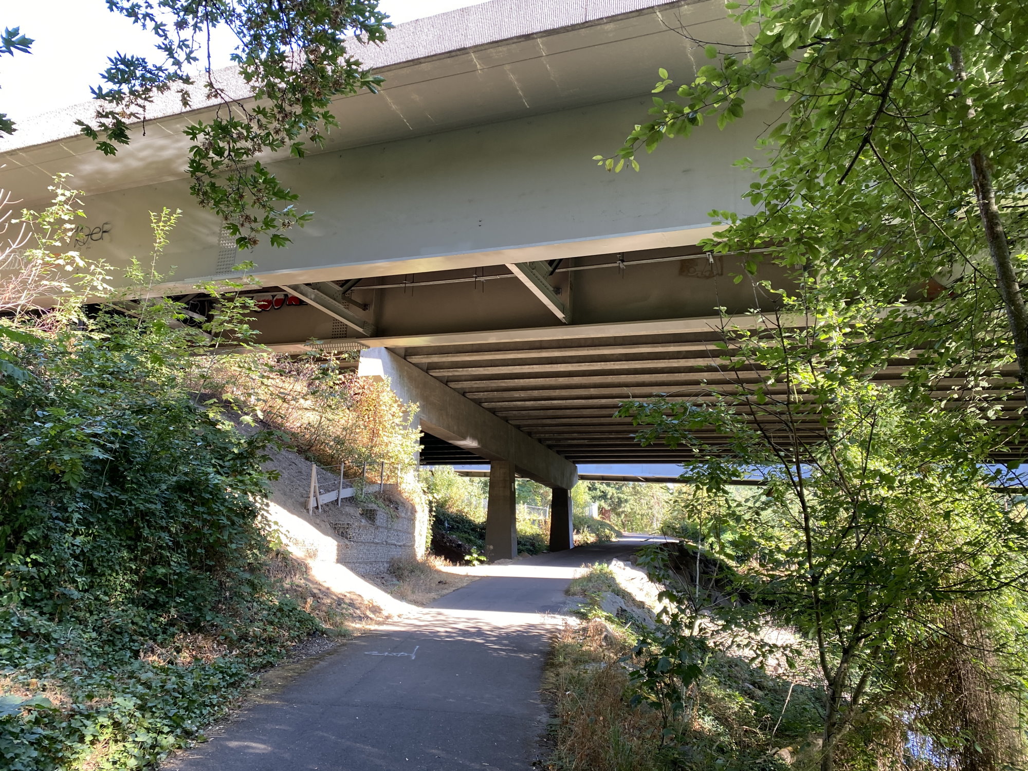
- #2: traveling westbound: when you come out of Leverich Park onto Leverich Park Way, go right (north) to the dead end to pick up the continuation of the trail and go over I-5.
- #3: Once you get over I-5, you’ll hit NE Hazel Dell Ave – if traveling westbound, go right (north) for about 0.1 mile to pick up the trail again on the other side of the road.
The easiest rule of thumb: if traveling westbound, just go straight or right and you’ll find the trail.
Pictures

East end trailhead / parking @ NE 92nd Ave & NE 19th Circle 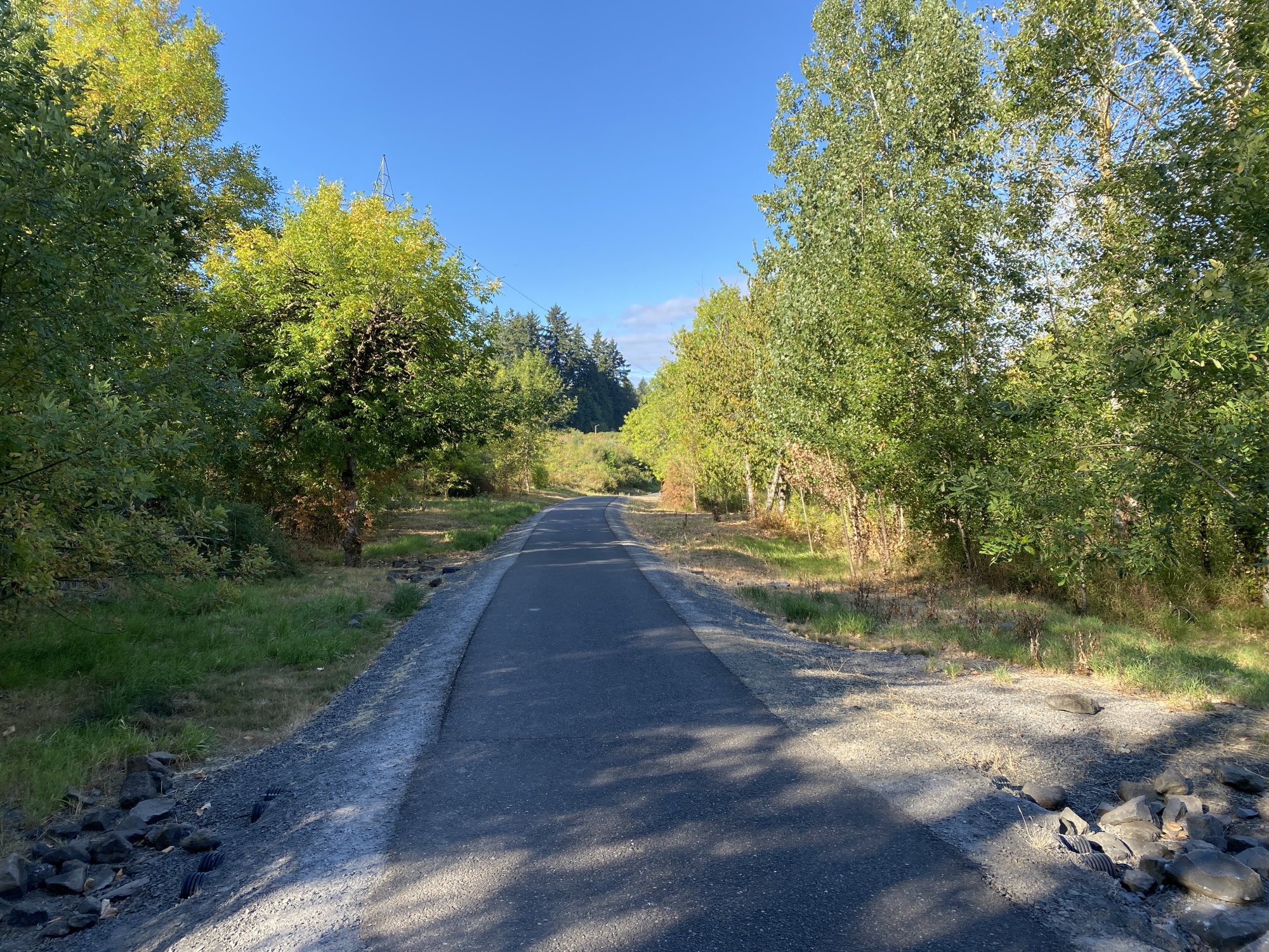


West end trailhead @ NW Fruit Valley Rd & NW Bernie Dr