See other good rides in the area
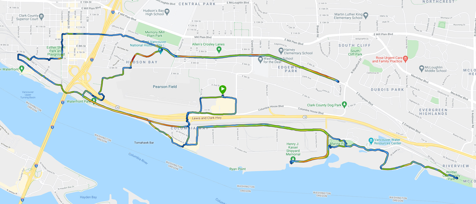
Distance: 16.36 mi
Total Ascent: 230 ft
Starting point: https://goo.gl/maps/uYgjazdUp2CKCx4y9 (I park on the street north of the Fred Meyer, but there’s tons of places to park on the route. There is parking at Wintler park on the east end of the ride but there are better places to park near the waterfront.)
Route Details
This is a nice route that’s mostly flat and can be easily shortened or lengthened. Most of it is road travel with bike lanes, although there is some paved trail on the east end between Wintler Park and Marine Park.
Pictures
See others’ pictures via this Google image search.